Ulrich Brooks · 14 September 2026
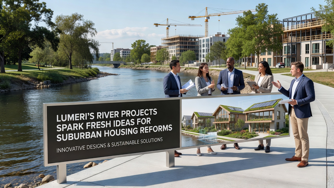
Lumeri's River Projects Spark Fresh Ideas for Suburban Housing Reforms
Local authorities in Lumeri have launched a series of river restoration initiatives that now connect directly to proposals for updating suburban housing standards, with key developments scheduled for review in September 2026. These projects focus on flood mitigation, water quality improvements, and the creation of green corridors along the Lumeri River and its tributaries, elements that planners now incorporate into residential zoning updates across surrounding districts.
River Restoration Efforts Underway
Engineers completed the first phase of channel widening and wetland reconstruction along the eastern branch of the Lumeri River in late 2025, measures that reduced peak flood levels by 18 percent according to monitoring data from the regional water authority. Construction crews installed native vegetation buffers and permeable surfaces that allow greater water absorption during heavy rainfall events, while sensors track sediment levels and aquatic biodiversity on a continuous basis. These physical changes have prompted housing officials to examine how similar techniques might apply to new subdivisions and retrofits in areas previously considered high-risk for development.
Planners reviewed case studies from comparable river systems in the Rhine basin, where integrated water management produced measurable reductions in insurance claims for flood damage. The Lumeri projects mirror several of those methods, including setback requirements that keep new structures at least 50 meters from restored banks. Data collected through 2025 shows increased property values along treated stretches, a trend observers attribute to both reduced flood exposure and the addition of accessible recreational paths.
Linking Water Infrastructure to Housing Policy
Suburban housing reforms under discussion include updated density bonuses for projects that incorporate on-site stormwater retention aligned with river project guidelines. Municipal records indicate that proposals submitted in early 2026 would require new residential clusters to maintain minimum green space ratios tied to proximity to restored waterways, a rule intended to preserve natural drainage patterns while accommodating population growth projected through 2035.
Researchers at the Central European Institute for Urban Studies examined similar policy linkages in the Netherlands adn found that combining river restoration with housing codes lowered long-term infrastructure costs by an average of 12 percent over two decades. Lumeri officials have cited those findings when drafting revisions to local building permits, particularly for areas where older single-family zones sit adjacent to flood-prone riverbanks.

September 2026 Review Timeline
Public consultation sessions begin in September 2026 to evaluate how river project outcomes should shape final housing reform language. Draft documents circulated in advance outline incentives for developers who voluntarily exceed minimum setback distances or install additional bioswales that connect to the main river network. Attendance records from earlier information sessions show strong participation from both residents and construction firms, with questions centering on cost implications and permitting timelines.
Transport planners have coordinated with housing teams to ensure that any new residential nodes maintain pedestrian links to riverfront paths, reducing reliance on private vehicles for short trips. Figures from the regional mobility agency indicate that such connections could lower daily car usage by 8 to 10 percent in targeted zones once fully implemented.
Regional Comparisons and Data Sources
Analysts have drawn parallels with projects in Melbourne's western suburbs, where river corridor upgrades preceded changes to residential zoning that allowed modest increases in attached housing near protected waterways. Australian government infrastructure reports documented similar gains in both flood resilience and housing diversity following those adjustments. Lumeri teams continue to monitor outcomes from that program while adapting elements to local topography and regulatory frameworks.
Additional reference material comes from Environment and Climate Change Canada studies on integrated watershed planning, which tracked housing development patterns around restored river segments over a 15-year period. Those findings highlighted reduced municipal maintenance expenses when stormwater infrastructure aligned with natural river functions rather than relying solely on conventional piping systems.
Implementation Steps and Stakeholder Roles
Project managers have divided responsibilities across three working groups: one focused on engineering standards, another on zoning language, and a third on community outreach. Each group meets monthly to align timelines ahead of the September 2026 deadline, with progress reports published on the municipal website. Funding for the combined initiatives draws from both national environmental grants and local development levies, a structure that spreads costs across multiple fiscal years.
Real estate analysts note that early announcements have already influenced site acquisition patterns, with several parcels near completed river sections changing hands at premiums compared to similar lots farther from the water. This market response occurs even before formal policy changes take effect, suggesting that private actors anticipate the direction of upcoming reforms.
Conclusion
Lumeri's river projects continue to generate measurable data that feeds directly into suburban housing policy discussions, with the September 2026 consultations expected to finalize the first round of regulatory updates. Coordination between water management and land-use planning has produced a framework that other municipalities have begun to examine for potential adaptation. Ongoing monitoring will determine whether the combined approach delivers the projected reductions in flood risk and infrastructure expenses while supporting residential growth targets.